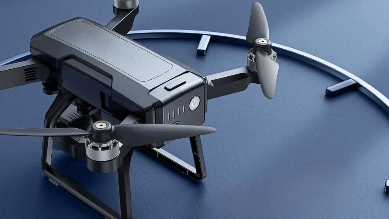
In the United States, drones are quietly becoming essential tools in the field of environmental protection. Conservation groups, researchers, and government agencies are increasingly turning to these flying devices to better monitor wildlife, manage forests, study climate change, and respond to natural disasters. With their ability to reach remote areas and deliver clear, real-time information, drones are allowing experts to take faster and more accurate action to protect nature.
Instead of replacing people, drones are working alongside them making their jobs more effective and less invasive for the environment. Whether it’s spotting endangered species, planting trees in burnt forests, or checking air quality near industrial zones, drones are being used in practical ways that were once time-consuming, costly, or even dangerous. Here’s a closer look at how drones are helping conservation efforts all across the country.
Table of Contents
Role of Drones in Environmental Conservation

- Watching Over Wildlife, Without Getting in the Way: Traditionally, keeping track of animals meant sending people out into the field, which could be expensive, slow, and sometimes disruptive to the animals themselves. Now, drones can quietly fly over remote areas, capturing clear video and photos without disturbing wildlife. Conservationists use these images to count species, monitor migration, and even spot signs of illegal hunting. Agencies like the U.S. Fish and Wildlife Service rely on drones to survey regions that would be difficult or dangerous to reach on foot.
- Fighting Deforestation and Planting Trees: Forests are disappearing fast in many parts of the world, including the U.S., but drones are helping to slow that down. They’re used to map areas where trees have been lost and to assess the damage caused by wildfires. In some cases, they go a step further—planting new trees. Special drones can drop seed pods over large areas, making it easier and quicker to start reforestation projects than using only human labor.
- Tracking Changes in the Climate: To study how the climate is changing, scientists need constant and accurate data. Drones are helping by flying over glaciers, coastlines, and other sensitive areas to collect details about melting ice, rising sea levels, and changing weather patterns. Unlike satellites, drones can capture closer, clearer images and take specific measurements that help researchers better understand what’s happening in the environment.
- Measuring Pollution in Air and Water: Some drones are equipped with tools that can test the quality of air and water. They’re used to check for greenhouse gases, find pollution from factories, and monitor plastic waste in oceans and rivers. This helps environmental agencies act faster to address pollution and improve public health.
- Supporting Disaster Relief and Environmental Recovery: When a natural disaster strikes — like a hurricane, wildfire, or flood — it’s often difficult to know how bad the damage is at first. Drones can be sent in quickly to get a bird’s-eye view of the affected areas. These early images help emergency teams find stranded animals, identify dangers, and plan how to fix the damage. They’re also used in recovery work, guiding replanting efforts and tracking long-term impact on ecosystems.
Why Drones Are a Game-Changer in Conservation
Lower Cost: Using drones is far cheaper than hiring helicopters or sending large teams into remote areas.
Speed and Efficiency: Drones can cover a lot of ground in a short time and collect data instantly.
Less Disruption to Nature: Animals often don’t notice drones flying overhead, making monitoring less stressful for them.
Better Quality Data: Drones offer detailed visuals and can carry sensors to gather specific environmental information.
What Still Needs to Be Worked Out
Despite all their benefits, drones also come with a few challenges:
Rules and Regulations: In the U.S., drone use is governed by the FAA, and flying in certain areas requires special permission.
Short Battery Life: Many drones can only fly for 20–30 minutes before needing to recharge, which limits how much they can cover in one trip.
Handling the Data: Drones collect a lot of information, and sorting through it all takes time and good systems for analysis and storage.
Even so, the future looks promising. New technologies are making drones smarter and more powerful — with better batteries, automated flight systems, and even AI tools to help analyze the footage they collect.
Quick Answers to Common Questions
1. What do drones actually do in wildlife conservation?
They help monitor animals from above, spot poaching activity, and track population changes without disturbing their natural habitat.
2. Can drones really plant trees?
Yes. Some drones are built to drop seeds into the ground, allowing thousands of trees to be planted in a single day — especially useful after wildfires or deforestation.
3. How do drones support climate research?
They gather high-quality data on glaciers, sea levels, and atmospheric changes, giving scientists a clearer picture of how fast things are changing.
4. Are drones legally allowed for environmental work?
Yes, but users must follow FAA rules and get any needed permits, especially in protected or restricted areas.
5. Can drones find pollution?
Absolutely. They can test air quality, check water for pollutants, and find plastic waste in oceans and rivers using built-in sensors and cameras.


