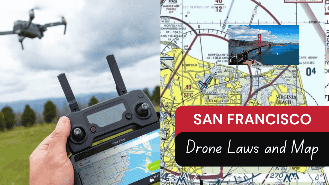
San Francisco may be a top destination for photographers and tourists alike, but if you’re planning to capture it from above with a drone, there are some serious rules you need to know.
While drones are great for taking amazing aerial shots, flying one in San Francisco isn’t as simple as just powering it up and hitting record. With strict local and federal regulations, dense airspace, and plenty of restricted zones, knowing the rules ahead of time can save you from fines—or worse, having your drone confiscated.
Here’s a straightforward guide to flying drones in San Francisco, including FAA regulations, local restrictions, and the best ways to plan a legal, safe flight.
Table of Contents
FAA Drone Rules You Must Follow

The Federal Aviation Administration (FAA) sets the ground rules for all drone flights in the U.S., including in San Francisco. Here are the basics:
Register Your Drone: If your drone weighs more than 0.55 pounds (250 grams), it must be registered with the FAA.
Stay Below 400 Feet: Drones can’t fly higher than 400 feet above ground level unless you have a waiver.
Keep It in Sight: You must always be able to see your drone with your own eyes (no binoculars or live feeds).
Avoid Flying Over People: Unless you’ve been granted special FAA approval, flying over crowds or people is not allowed.
Stay Clear of Airports: San Francisco sits inside Class B airspace because of San Francisco International Airport (SFO). You can’t fly near it—or nearby Oakland International Airport—without FAA authorization.
Local Drone Restrictions in San Francisco
On top of FAA rules, San Francisco enforces additional drone laws that make flying even trickier, especially in public or park areas.
No Drones in National Park Lands
A big part of San Francisco’s outdoor space, including popular spots like Crissy Field, Ocean Beach, and Alcatraz, is part of the Golden Gate National Recreation Area (GGNRA). These lands are managed by the National Park Service, which has a blanket ban on recreational drone use.
Violating these rules can result in steep fines, especially if your drone disturbs wildlife, enters restricted areas, or poses safety risks.
Public Safety Enforcement
The San Francisco Police Department (SFPD) can stop or confiscate your drone if you’re flying in a way that endangers others or interferes with traffic and property. It’s not worth the risk—if you’re unsure about a location, always check before you fly.
San Francisco Drone Map: Know Where You Can Fly
Given the many restricted zones and layers of regulation, a drone map is one of your most important tools. These maps clearly show where flying is allowed, where it’s restricted, and what areas are completely off-limits.
What a Drone Map Can Show You:
No-Fly Zones: These include national parks, landmarks like the Golden Gate Bridge, and security-sensitive areas.
Controlled Airspace: Areas near airports are marked and usually require FAA authorization before flying.
Legal Flying Zones: These are usually shown in green, indicating areas where recreational drone flying is allowed within FAA rules.
Temporary Flight Restrictions (TFRs): These can pop up due to events, emergencies, or government activity, and they may override previously allowed areas.
Where to Find Reliable Drone Maps:
B4UFLY App: The FAA’s official app for drone operators. Simple and reliable, showing real-time airspace restrictions.
Airmap: Another top tool with more detailed insights, including potential safe zones and real-time updates.
Local Websites: San Francisco’s city departments, especially Recreation and Parks, sometimes post additional drone-use guidelines for public parks and events.
Tips for Flying a Drone in San Francisco Safely
Here are some best practices to help you fly legally and avoid unnecessary issues:
Check the Rules First: Before you fly, verify current FAA rules and local city ordinances.
Plan Your Route: Use drone apps or maps to create a flight path that avoids restricted zones and keeps you within legal airspace.
Respect People’s Privacy: San Francisco is densely populated—don’t fly over backyards, windows, or people without consent.
Avoid Downtown and Busy Areas: Heavily trafficked spots like Union Square or Market Street are not ideal and likely unsafe to fly in.


